More than simple aerial photos.
Orthomosaic maps and 3D models can help clients view a site from a broader perspective, compare progress, document layout, and share visual information with teams or stakeholders. These products may require additional processing time depending on acreage, image count, and output needs.
Useful for site records.
Aerial data with context.
Mapping and model outputs work best when paired with clear site photos and a defined deliverable goal.


Mapping quotes depend on processing needs.
Mapping and 3D model pricing depends on site size, capture requirements, deliverable format, processing time, travel, and whether reports or repeated captures are needed.
Common questions.
Answers for clients interested in maps, 3D models, and photogrammetry-based deliverables.
Are the maps survey-grade?
No. Unless a licensed survey workflow is specifically arranged, mapping products are visual documentation tools and are not a replacement for licensed surveying, engineering, or legal boundary work.
How long does mapping or 3D processing take?
Processing time depends on site size, number of images, output type, and computer processing requirements. Mapping and 3D models usually take longer than standard photo delivery.
Can you provide WebODM-style outputs?
Yes, mapping and 3D model workflows can support WebODM-style outputs as capabilities and project requirements allow.
Can a map or model be embedded on the website?
Yes. Public examples can be embedded later if the output format and client permissions allow it.
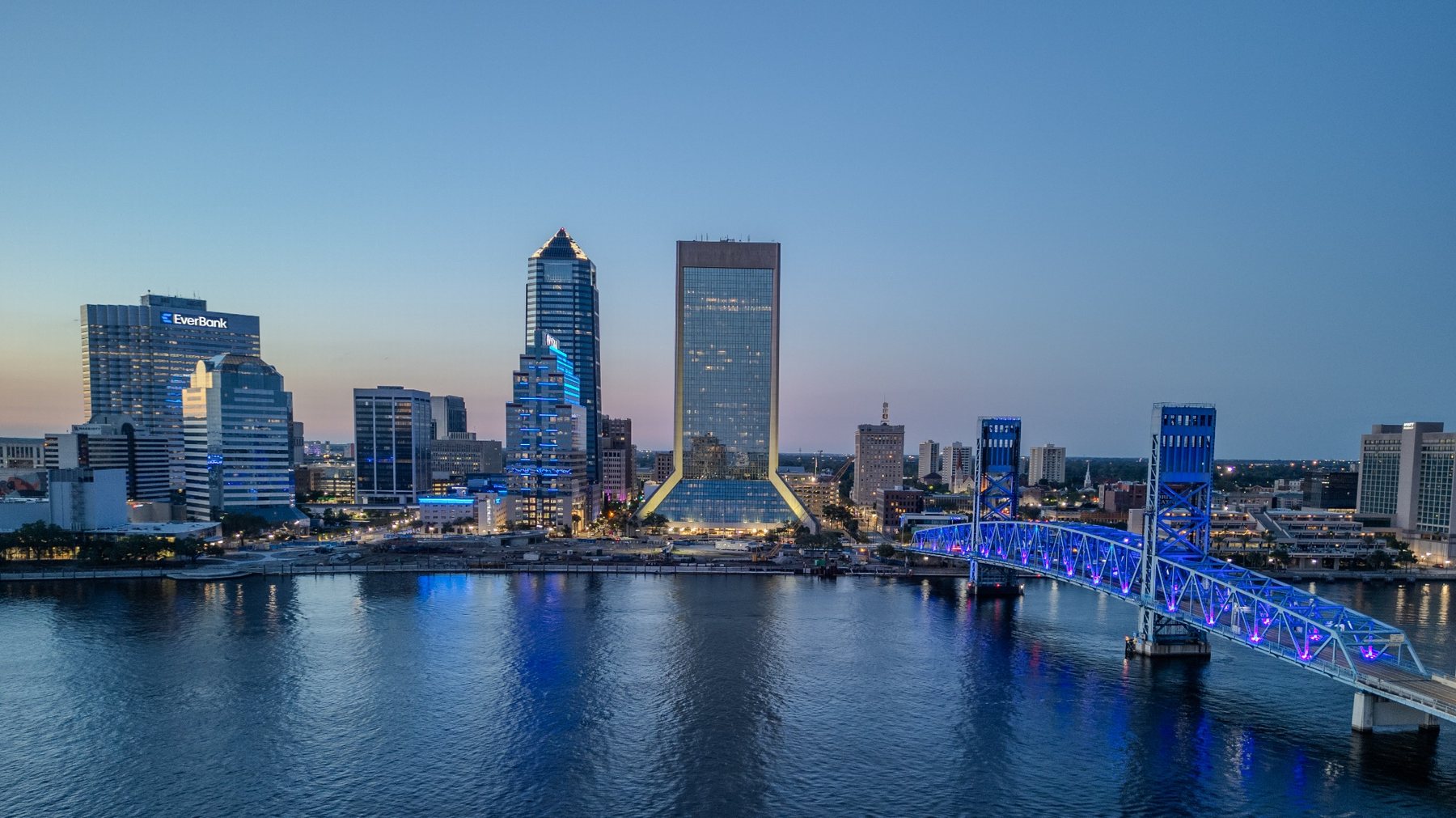
Need drone mapping or a 3D model in Jacksonville or Northeast Florida?
Send the site location, approximate acreage or structure size, intended use, and desired output. HeimdallUAS Services will review the scope and respond with a project-based quote.
Request a QuoteEmail Directly